
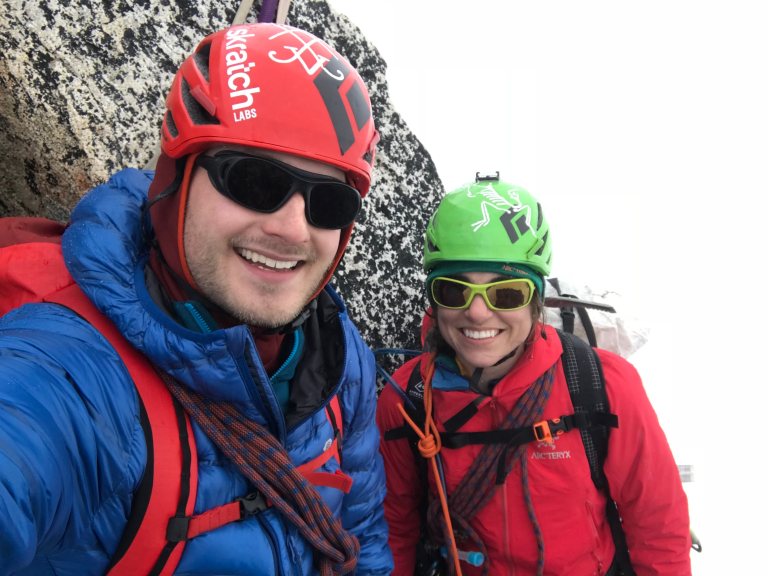
Dandelion and I climbed Silver Star Mountain in bad conditions on May 19th, 2018. The approach was made via Silver Star Creek and we ascended Silver Star Glacier to the East summit. We originally had more ambitious plans, but the poor weather forecast made only non-technical routes feasible.
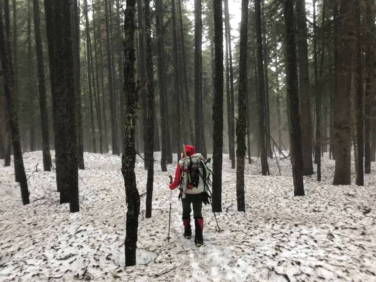
Bryson, Sam, Dandelion and I left the car at the Silver Star Creek pullout (3442 ft) at about 5am. The approach was not too steep but proved to be very time consuming with large amounts of fallen trees, soft snow, and soaking wet trail. Bryson and Sam decided to call it a day at about 5000 feet after Sam unfortunately broke through a snow bridge over a hidden stream. Dandelion and I continued to the toe of the Silver Star Glacier where we cached some unnecessary gear and roped up. Visibility was worsening at this point but the weather seemed manageable, so we decided to make a summit bid.
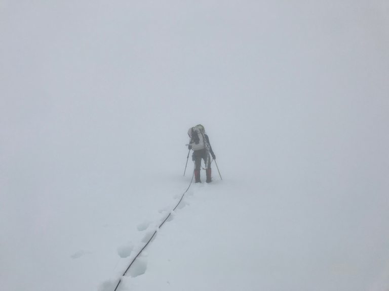
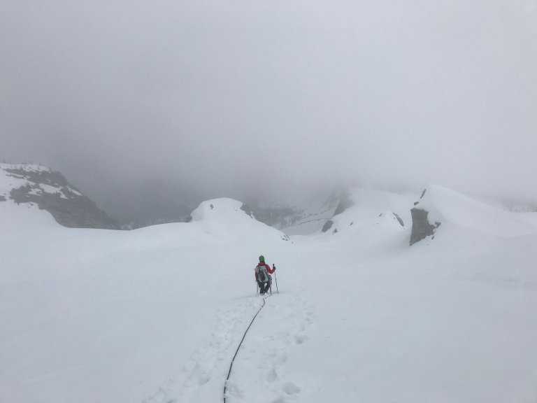
Moving up the glacier with such bad visibility was a unique experience. We did spot several crevasses on the left side of the glacier and made sure to stick to the right side. With no depth perception, I had to poke my trekking pole around in front of me to determine where I needed to kick the next step. Despite this, we made good time up the glacier and finally arrived at Silver Star Col, which separates the higher East summit from the West summit.
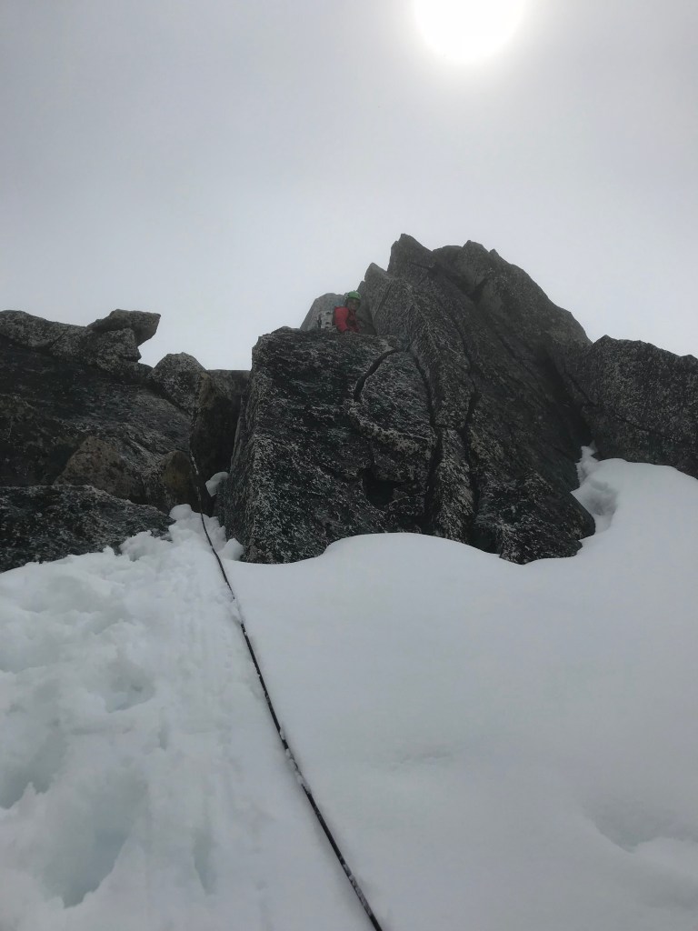
The final snow and rock scramble to the summit was straightforward, except for a 50 foot section of completely isothermic, unsupportive snow. I was beginning to lose hope as every forward step sent me sinking up to my armpits in the steepish snow slope. Thankfully, Dandelion took over the lead and tunneled her way up the slope, which took 20-30 minutes. That’s some serious grit! After this section, we were able to transition onto rock and quickly make our way to the summit. A rain/snow mix began falling from the sky, so we opted not to do the final 20 foot scramble to the true, pointy summit.

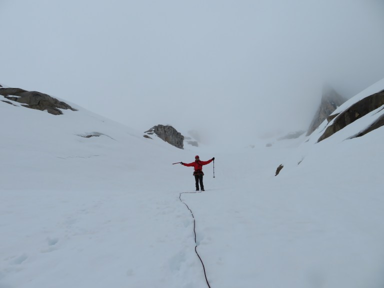
The hike down the glacier and out to the car was pretty miserable – it rained on us almost the entire time. If that’s not classic Pacific Northwest Mountaineering, then I don’t know what is! It was nice to return to Silver Star Mountain, which was the first mountain I ever failed on. My college mountaineering class got within ~500 feet of the summit in May 2015 before a lightning storm sent us running home.
We arrived back at the car in just over 12 hours round trip. With 5400 feet of gain, this was a full day in the hills. Soon, we were back at Bryson and Sam’s cabin where we enjoyed beers, salmon, and the famous “crack bread” from the Mazama store.
Gear Notes:
Ice axe, crampons, light rope, and a picket per person. We never needed to put on crampons and never placed the pickets.
