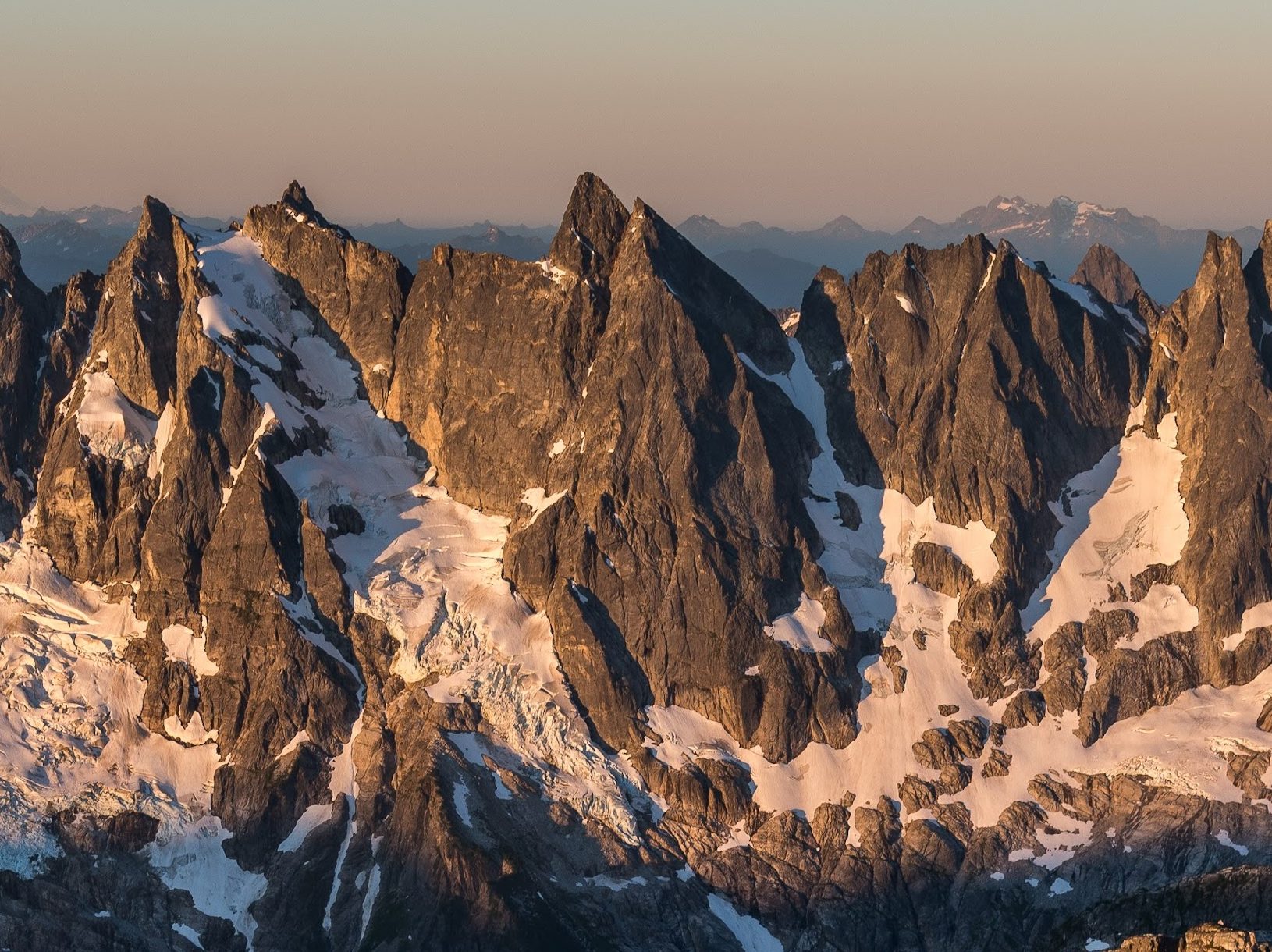
Out of the blue in late June, Nate Kerber reached out about doing some climbing while he was in the area. It was easy to say yes, despite the fact that we’d only met once before – Nate’s climbing resume is solid and I could tell that we’d get along well. As we discussed objectives, he let it slip that he was interested in climbing something “remote and adventurous” – a dangerous proposition to someone like me! I ran with that idea and casually suggested we head to the Pickets range for big game: the North Face of Mount Terror. There are a number of reasons why this would be a huge undertaking, but somehow Nate was instantly on board. I’m not sure that he fully knew what he was getting in to, but I had confidence that we would make a great team for this mission. On July 14, 2026, we climbed Mt Terror by the Stoddard Buttress.
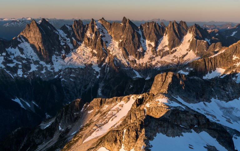
The North Face of Terror has been a long term fascination of mine. Years ago, scant information in a Fred Beckey guidebook drove me to cross-reference maps, photo galleries, out-of-print magazine articles and the troves of online knowledge about Mount Terror. The peak’s impressive North Face looms over a remote cauldron of rock and ice called McMillan Creek Cirque; it’s rare that people step foot in this basin, let alone tackle a technical climb originating there.
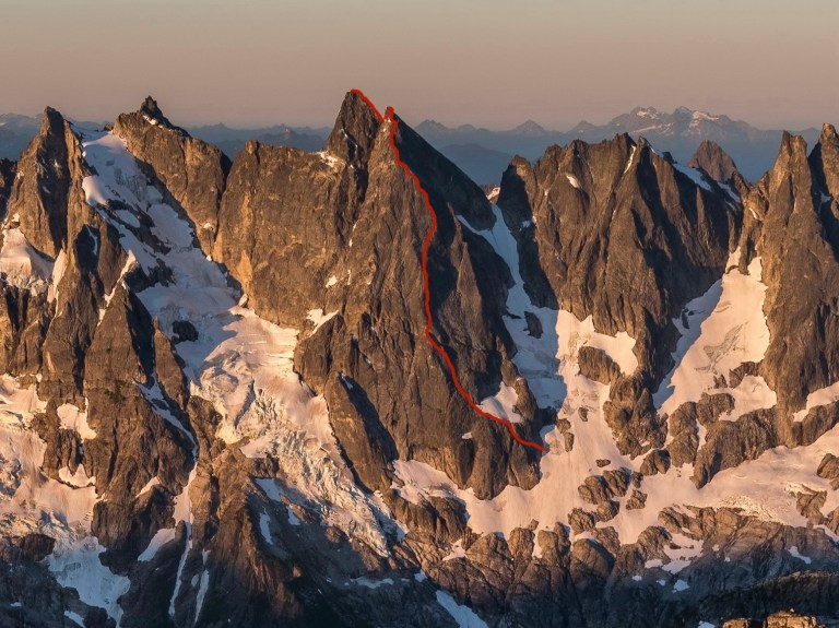
The original 1961 route on the North Face was put up by some of the elite Pacific Northwest climbers of their era. Charles Bell, Ed Cooper, David Hiser, and Mike Swayne stayed right of the true crest of the North Buttress, catching a smaller buttress out right. In 1984, John Stoddard significantly upped the ante. He spent two days approaching via Stettatle Ridge before questing alone onto the buttress. Instead of following the 1961 line, he boldly traversed left to the steeper and more solid crest of the buttress which he more or less followed to the top. John must have had a life-changing experience over those few days, putting in an effort that continues to inspire 42 years later. Climbers refer to his route as “Stoddard Buttress” to pay proper respect to his bold climb in a shockingly remote place. A note on his 2005 obituary said “John was perhaps the most motivated of an exceptionally talented group of climbers who were pushing the limits of Cascade climbing.” Judging by his extensive resume, this may have been an understatement. What a character!
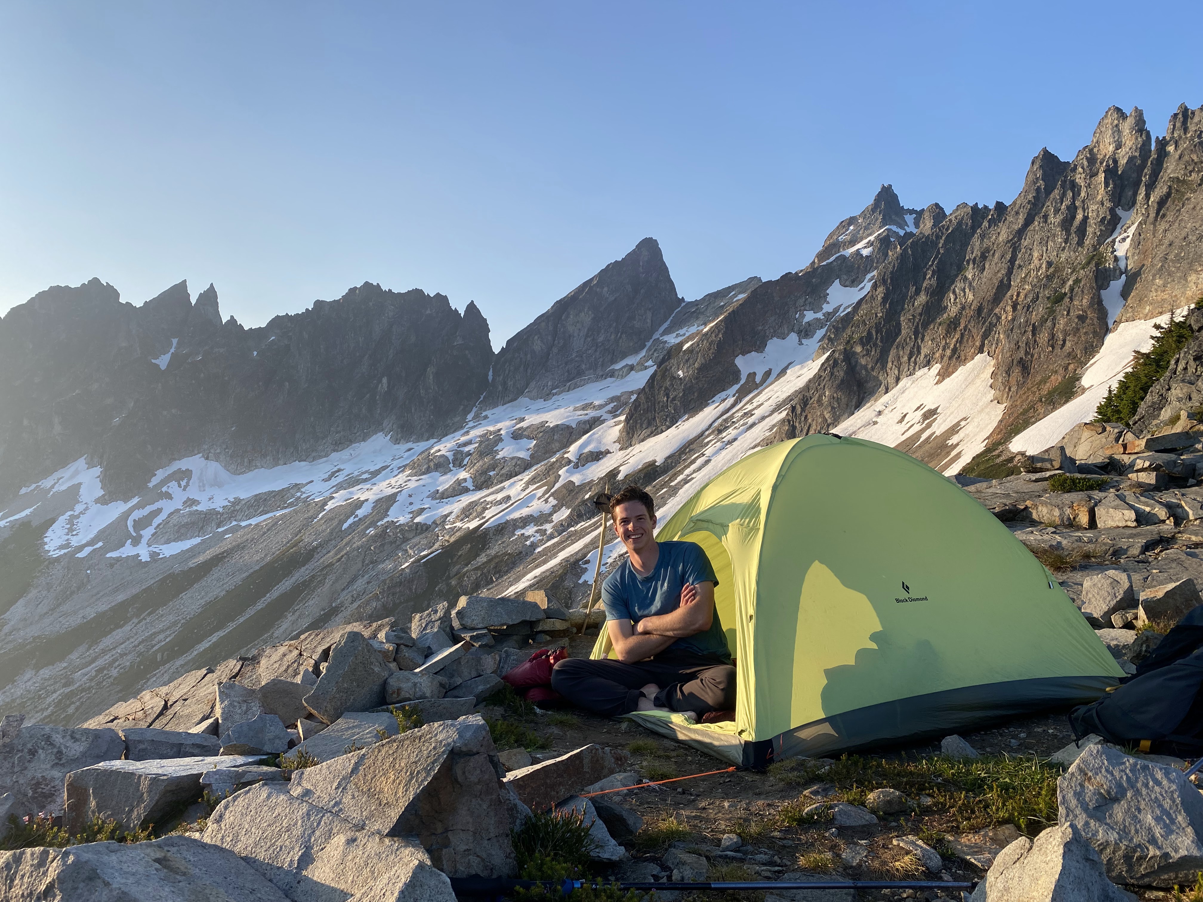
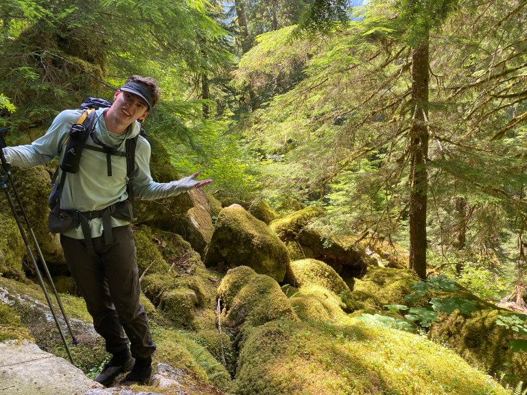
The first day of the trip saw Nate and I fight our way up to Crescent Creek Basin. The Pickets are known for brutal approaches and this one had it all: slide alder, devil’s club, disappearing trail, absurdly steep forest, punishing summer heat, etc. I had climbed in the South Pickets back in 2024 so I knew what we were getting into, but Nate would be going in blind. When I’m pitching a tough approach to a new partner, I have to toe the line between understating and overstating the difficulties. If I play it cool, it can be easier to convince someone to have a go. When the brutal reality slaps them upside the head, they might never climb with me again. If I oversell the difficulty and the reality falls short, people are usually happy despite experiencing non-stop suffering along the way. Nate and I left the cars around 10am – eight hours of savage effort brought us to a saddle overlooking Crescent Creek where we settled in for the night. Nate said that the approach took way longer than he expected, but overall it wasn’t too bad. Perfect!
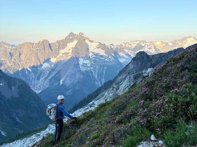
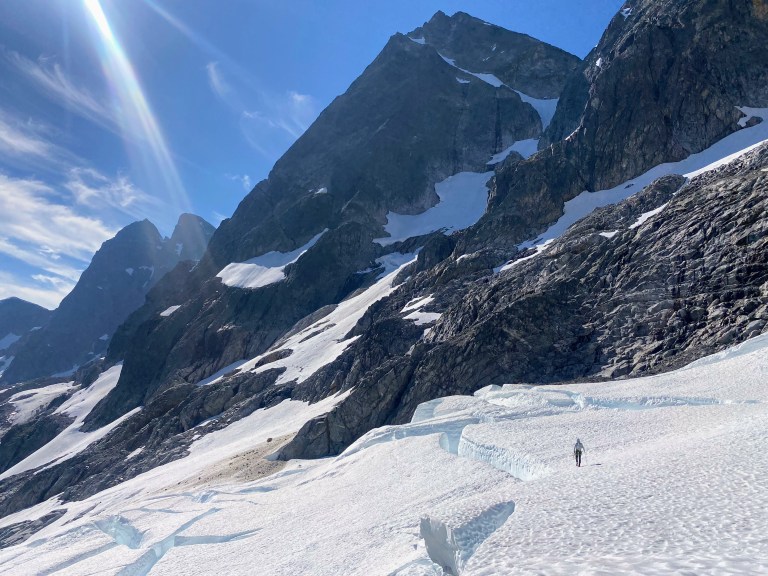
Our summit day promised to be long and complicated. Our camp sat on the South side of the range, but we were here to climb the North Buttress. Somehow, we needed to cross over the seemingly-impassible “Picket Fence” of the South Pickets to reach our route. After leaving camp at 5am, Nate and I immediately dropped elevation into Crescent Creek Basin, then countoured across on snow slopes, talus and slabs. It took us just under two hours to begin climbing a snow gully and fourth class rock to reach the key to our passage to the North side: Himmel-Otto col. A committing rappel off the far side dropped us into a moat between vertical rock and the upper Mustard Glacier. I coiled the rope as Nate tackled an icy boulder problem to reach the surface of the glacier. Things were going smoothly but I couldn’t shake a minor feeling of unease given our position. Perfect boot skiing conditions dispelled thoughts of doom and replaced them with whoops and laughter. Now we were facing the biggest question mark of the whole trip: sniffing out a route through the broken central mass of the Mustard Glacier.
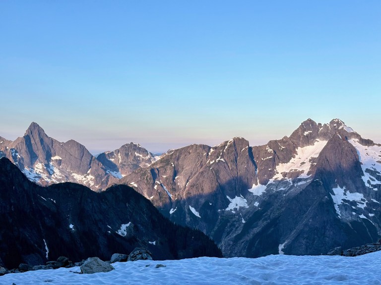
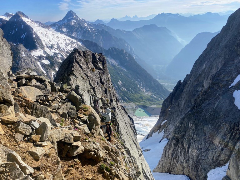
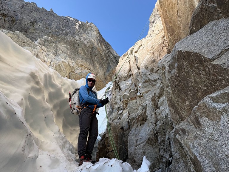
Honestly, I had been dreading the Mustard Glacier – I’ve heard stories of bulletproof glacier ice and difficult crevasse navigation, all made more stressful due to the fact that we were fully committed. We couldn’t go back the way we came and it would be a multi-day fight to return to civilization from this side of the range. The easiest way to go home was to finish the job; if we failed, we were in a world of hurt!
Glacier conditions proved to be exceptional – a relief given that we simply didn’t have the gear for any serious glacier work. Carefully, we navigated a route through the labyrinth of crevasses without much drama or excessive objective hazard. Multiple times I found myself positive that we would get dead-ended as I struggled to see a reasonable path ahead. Each time, a passable snow bridge or sneaky end-run presented itself at the last moment. Once through the crevasses, a section of frighteningly exposed rock slabs and steep snow got us established on the fourth class terrain that begins the route. The exposure here was tremendous but the solid rock made it all feel reasonable. Below a major snowpatch, we gained a comfortable ledge and racked up for the technical climbing to come.
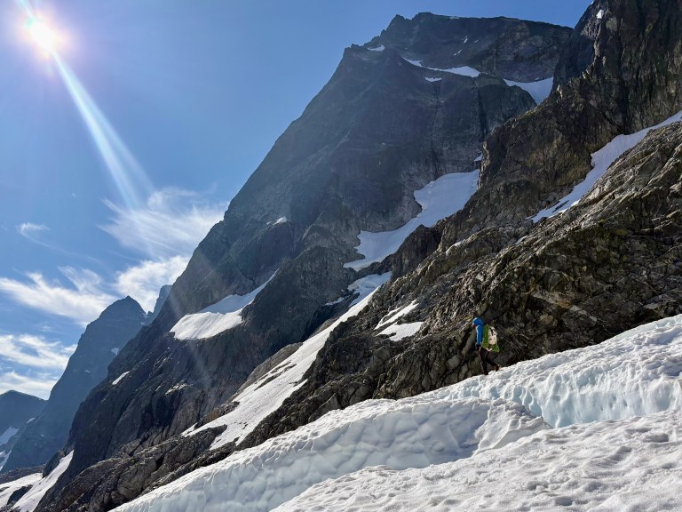
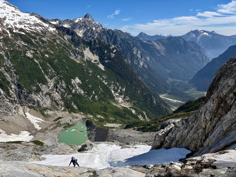
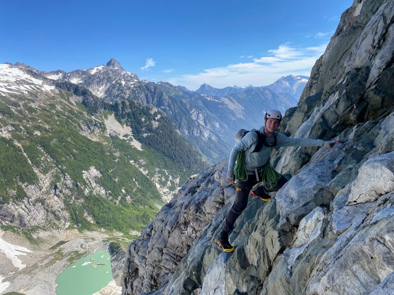
I took the first lead up and left from the ledge, aiming to get us on the crest of the buttress as soon as possible. Solid rock with plenty of features allowed quick progress as we simulclimbed, swapping leads when the leader ran out of gear. The nature of the climbing on this route involves very little crack climbing – most of the movement is over face climbing features with occasional opportunities for protection. Eventually, we hit a section where the crest of the ridge became impassible; this must be where Stoddard rappelled on the first ascent. I downclimbed to the right until we spotted an option to continue upwards. I think that most people (and likely Stoddard himself) continue further down and right to a chossy, lower angle face to head back to the ridge. Instead, I led a thrilling 5.8 pitch, laybacking my way around a roof with good gear onto easier terrain that returned us to the crest. I belayed at a tiny overhang above a sloping ledge, realizing that this was the site of a rather epic 2008 accident and rescue. A climber spent five (!) stormy days here alone awaiting a helicopter rescue – grim stuff, but he did live to tell the tale.
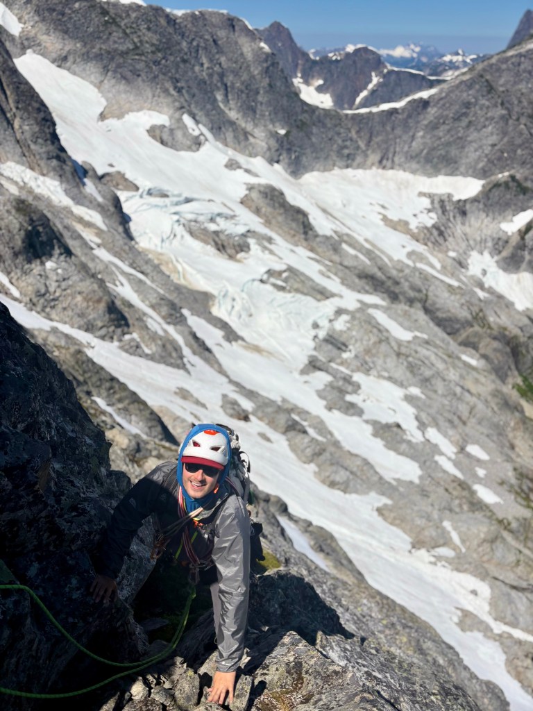
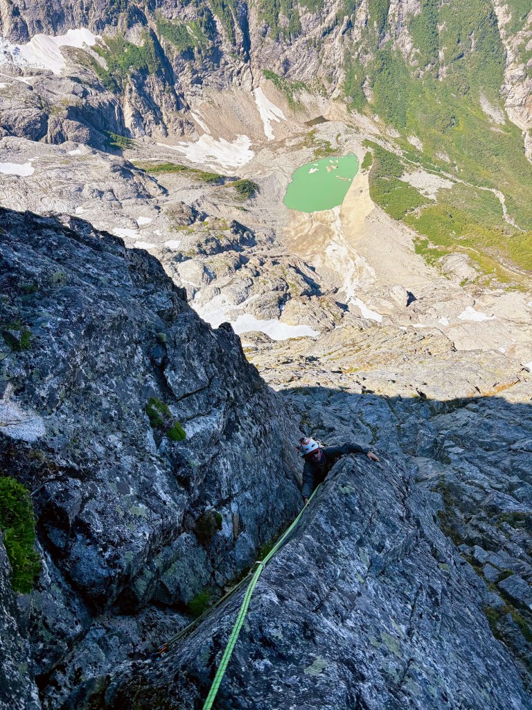
Nate is a very strong rock climber which can be a blessing and a curse on a route like this where a key skill is finding the path of least resistance. He spotted some interesting steep cracks to the right of the crest that he just couldn’t resist. I hoped that he’d find a way back left to easier terrain, but Nate was forced to build a belay on steep ground after pulling some impressive moves. I followed 5.9 cracks to his belay where it was apparent that we would need to rappel or traverse left to regain the route. I eyed the unsavory traverse across steep ribs, each one split from the next by dihedrals full of loose rock. I sighed and set off into sketch land. Only a few feet left of the belay, I had already pulled off hundreds of pounds of loose rock, watching it thunder down thousands of feet to the glacier. Any mistake here had potential to be catastrophic. This 30 meter horizontal pitch was not technically difficult, perhaps 5.7, but it challenged me in a deep way. I was a bit frazzled by the time I built a belay but I had to get myself back together because we still had a long way to go. Nate carefully followed the traverse without incident and thanked me for getting us back on route. Now re-established on solid rock, we made quick progress onto the upper part of the route.
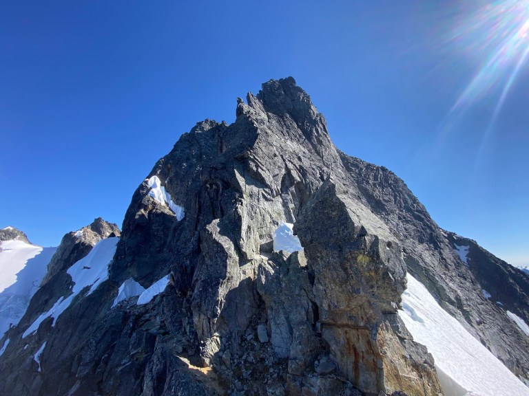
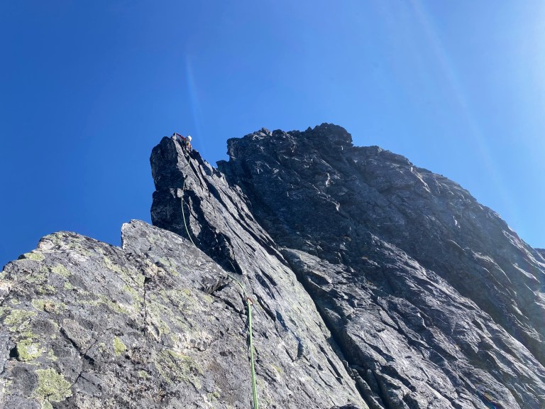
The upper section of the Stoddard consists of more stepped terrain than the continuous face of the lower route. Toward the top, the narrowing buttress forced us onto the super-sharp and exposed crest. I had seen these fins of rock from low on the route and assumed we would find a much easier way around. The reality was quite different: we climbed the fins directly on immaculate stone. Exposure on either side of the ridge was huge and absolute. Nate led the first fin with some legit 5.8 moves. We were still simulclimbing as I got halfway through the crux mantle. I thought that a classic “alpine knee” would allow me to exit the mantle, but once committed to the move I found myself immobilized and unable to reach any good holds. This was not the place to fall! Nate was on steep terrain trying to find a suitable belay anchor above me. A few tense moments passed until I matched my left foot on my right knee hold and stood up on it – hardest pistol squat I’ve ever done. Crisis averted! I led the second knife-edge pitch to the false summit. Now unroped, we downclimbed to a notch then ascended steep fourth class to the true summit of Mount Terror. I never had reason to doubt we’d succeed, but I still couldn’t believe that Nate and I had done it! The stars had aligned – not bad for our first climb together. We still had a full-on descent to deal with, so I slammed down a snack and the last of my water before getting to work.
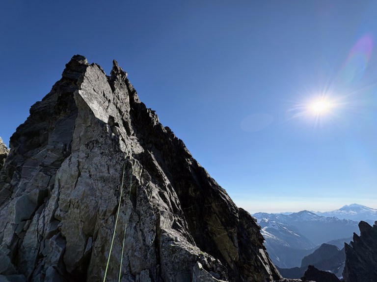
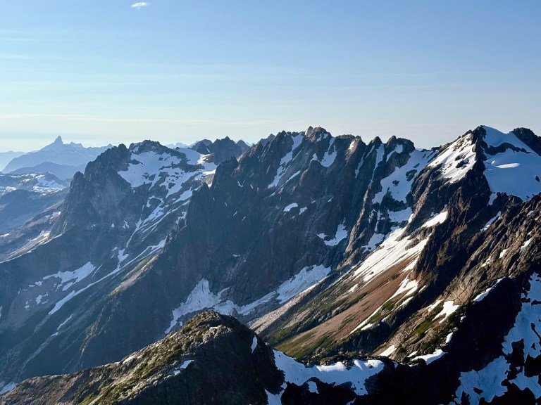
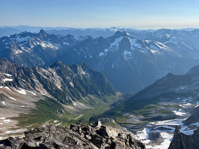
From the summit, we downclimbed fourth and third class terrain down the West Ridge for what felt like an eternity. Above the West Ridge notch, one rappel off of old pitons dropped us into a gully. This rap anchor sucks and is not confidence inspiring, but there aren’t any other options nearby. The rope somehow whipped itself into an overhand knot and jammed in a flake as I pulled it down, requiring some ill-advised shenanigans to retrieve it. A descent of the atrocious gully below required four or five more rappels until we were back on walking terrain in Crescent Creek Basin.
After our 18 hour day, we celebrated at camp with good cheese, salami, freeze dried lasagna and gummy worms. After the feast we both laid down in the sharp rocks around the tent, ignoring the discomfort to soak in the amazing starscape above. Of course, after our long day, this only lasted so long until we fell asleep regardless of the rocks jutting into our tired bodies. I shivered myself awake around around 1am and crawled into the tent. I have no idea how much of the night Nate spent outside, but at some point he found his way to his sleeping bag too. The struggle back to the car the next day wasn’t much easier than the hike in, but we were too stoked to care.
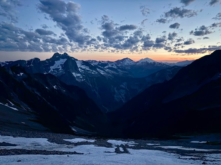
After our Terror adventure, Nate went on to climb a few different routes in Boston Basin to round out his vacation. It was a pleasure climbing with someone as motivated and skilled as Nate!
The Stoddard Buttress of Terror is a route for the Cascades aficionado. It’s not a simple route that makes you feel like Superman like the “classic” climbs tend to do. This objective demands a wide set of skills that can only be honed by doing the real thing, and the challenges just keep coming at you along the way. Hold fast!
Gear Notes
Singles .2-3, doubles of .5-1, offset nuts, 8 single length slings, 2 double length slings, 70m twin rope (folded in half for the rock climbing). Several raps used all of the rope we had, I would expect additional minor shenanigans if you use a shorter rope.
Footwear continues to be a topic that I spend a ton of time pondering for these technical adventure climbs. I wore approach shoes on the hike in and out, choosing them over trail runners given the rough, steep terrain which benefits from more sturdy (but breathable) footwear. For summit day, I wore 3 season mountaineering boots and rock shoes. I opted for boots over approach shoes knowing that the Mustard Glacier can be broken up, icy, and/or difficult to navigate. You just don’t know what you’ll find until you commit to the Himmel-Otto rappel, and I didn’t want to be forcing an icy glacier crossing in approach shoes. That said, I know multiple people who have done this mission with light footwear only.
Strategy Notes
On the approach and hike out, there are two primary directives to follow at all times: 1. Find the trail and 2. stay on the trail. If you find yourself befuddled in a sea of vegetation, just start repeating the primary directives and execute.
The Mustard Glacier is the biggest of many question marks standing between you and success on this route. Climate change is taking an increasing toll on the glacier, making the window for this route shorter and shorter. In 2026, it seemed like there was roughly a two-week window where conditions were favorable for the approach, glacier and route in late July. Conditions will dictate whether or not an otherwise dialed team will be successful here.

