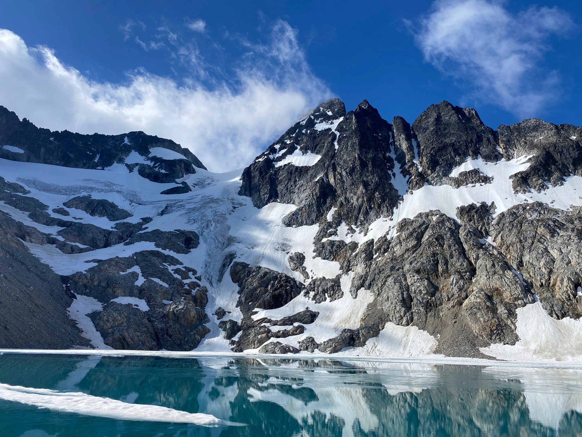
From July 3-6, 2026, Larissa and I had an incredible wilderness experience in North Cascades National Park. Every trip starts as an idea – last year, Larissa and I spent most of a week camping and climbing around the Eldorado Ice cap. As we soaked in the views throughout the trip, Larissa was enchanted by Mount Logan off in the distance. Undeterred by the thought of a 40+ mile hike, she decided she had to climb it. I wasn’t immediately on board, but Larissa’s stoke convinced me to take a second look. If we were going to climb Logan, I wanted to experience the best and most inspiring terrain that the peak has to offer. It didn’t take long to concoct a plan that I was truly excited about! Starting from Easy Pass, we would approach via Fisher Creek, climb the Banded Glacier, descend the Fremont Glacier, and hike out Thunder Creek to Diablo Lake.
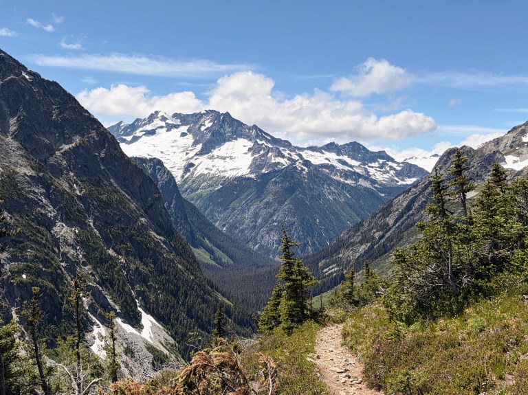
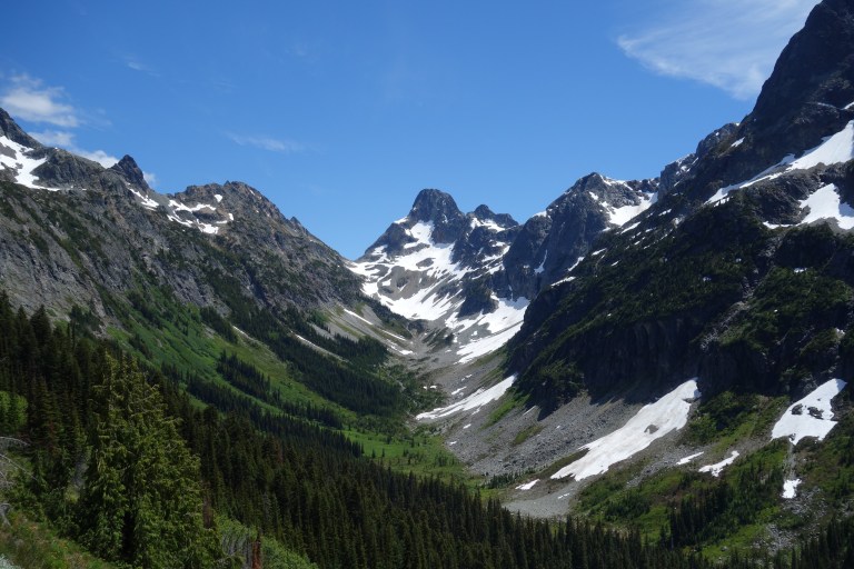
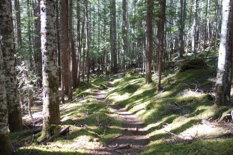
After snagging permits, we parked our car at Colonial Creek Campground where our friend Sean picked us up to shuttle us to Easy Pass trailhead (thanks dude!). Easy Pass was as easy as it gets for 2800 feet of elevation gain with good trail and perfectly-planned switchbacks. After cresting the pass, we marveled at the views then descended into Fisher Creek. A few miles of good trail later, we found the cairn that marked the start of the real work. For 2000 vertical veet, we grunted and fought our way up unrelenting forest slopes. Overall it’s not bad (I have seen some things) but the upper section sits firmly in the “legit” category of bushwhacking.
Our goal was to reach an unnamed lake at 5200 feet, but rumors of a swamp blocking the way weighed heavy on my mind. It’s always worthwhile to keep your feet as dry as possible on a big trip like this, so I planned to follow a ridge to the left in an effort to find a dry route. Larissa was seriously questioning our path but it seemed like it was working out perfectly! I lost all hope the moment we descended off the ridge. After negotiating ankle deep water for a few hundred feet, we met a party of four with who also planned for the Banded Glacier the next day. Awesome! This route only gets climbed a handful of times per year; it’s always fun to meet likeminded people out in the middle of nowhere. After some effort, Larissa and I found a comfy tent site and settled in for the night. This camp has a reputation for intense clouds of mosquitoes and biting flies, but the mosquitoes seemed to be taking the night off and the flies decided only to swarm, not to bite. All in all, that’s a win!
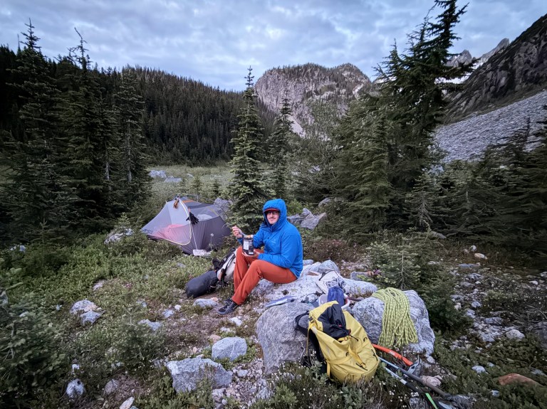
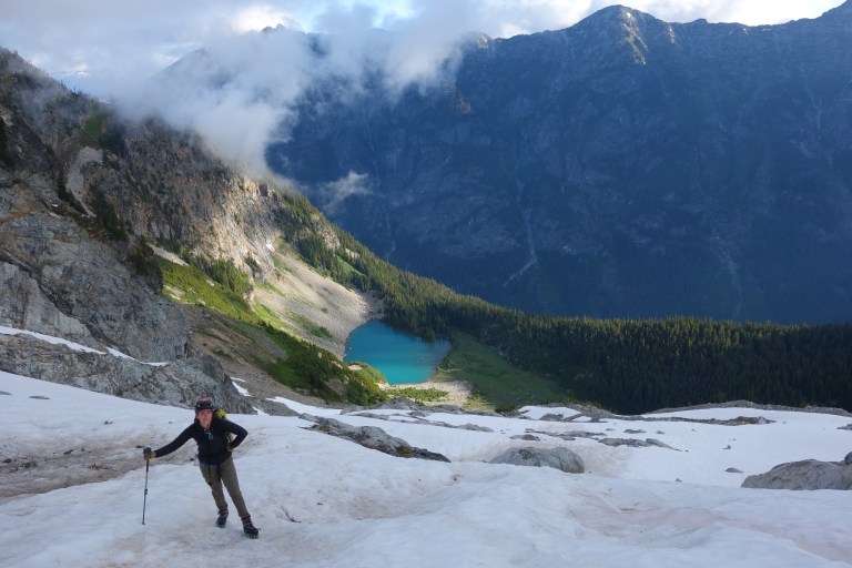
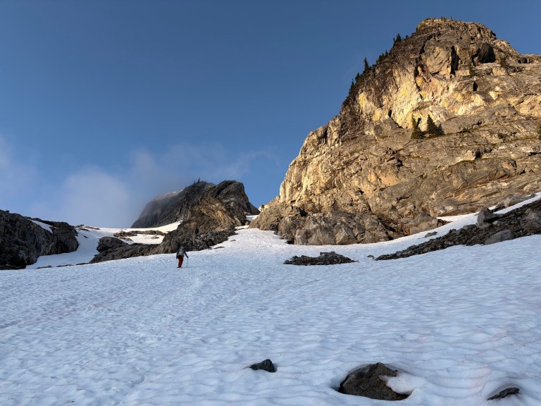
We left the unnamed lake at 5am on our second day and quickly reached snowline. Kicking steps up the snow, we motored toward the first key to the Banded Glacier: a rocky passage called Christmas Tree Col. It would be very difficult to reach the cirque below the route if this notch in the ridge did not exist. Ben and Leah passed us before the col with light packs – their friends had elected to stay back at camp while they tried for the summit.
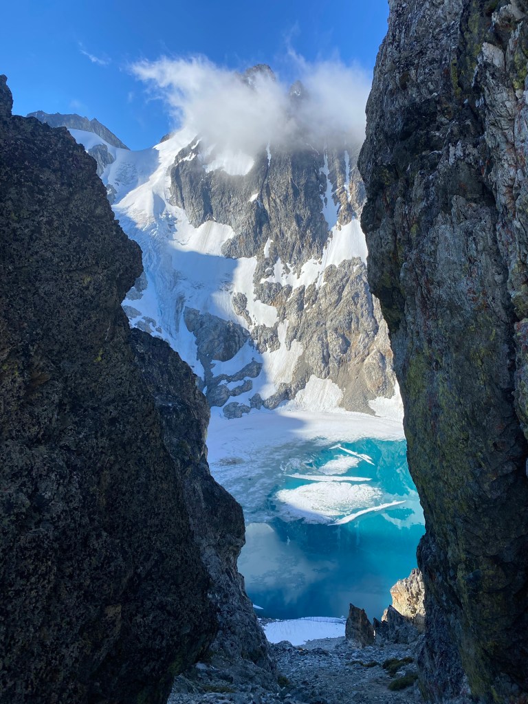
On the far side of the col, we boot skied scree and snow all the way to the shore of Banded Lake. Interestingly, this lake is relatively new. The Banded Glacier formerly covered the bottom of the cirque, but significant glacier retreat caused the lake to form with talus lining the shores. Between the turquoise lake, shining glacier and dramatic view of Mt Logan, this was an incredibly special place to visit. On the far side of the lake, we began working our way up loose rock, third class ledges and snow slopes to the far left side of the glacier.
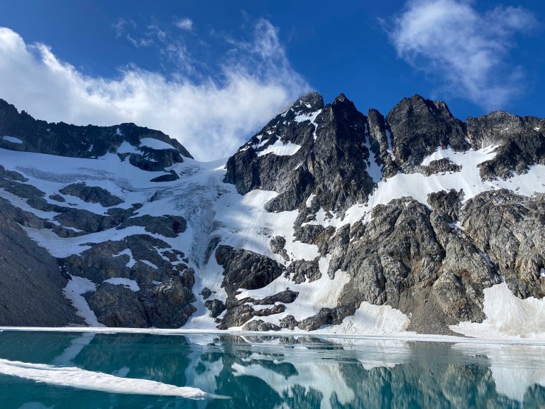
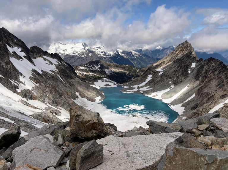
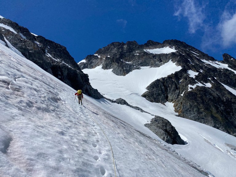
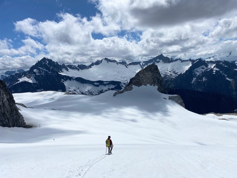
Larissa took the lead when we hit the glacier and roped up. A gently rising traverse brought us to the main mass of the glacier and an interesting shelf next to the rock. A short rock scramble got us onto a swale feature on the extreme left margin of a glacial valley that isn’t visible from the lake. The swale eliminated crevasse hazard and provided a bit of a terrain belay. We followed it all the way to Banded-Douglas Col where we could see down the Douglas Glacier. On the other end of the col, we stowed our glacier gear and began the scramble to the summit. Some tense moments were had as we got close to the junction with the normal Fremont Glacier route – we must have taken a bad path on the loose rock. Once we intersected with the normal route, we dropped our packs and scrambled more solid ground to the summit. The rock scramble to the summit was much longer than I anticipated! The summit of Logan is an incredible perch – the views of the Boston Glacier are incredible, not to mention the jaw-dropping view of Mt Goode.
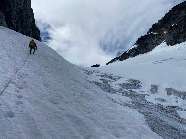
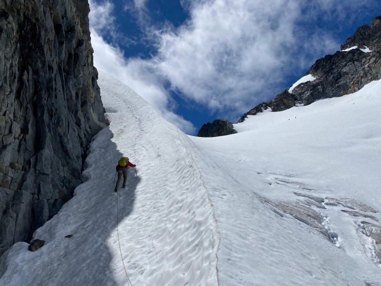
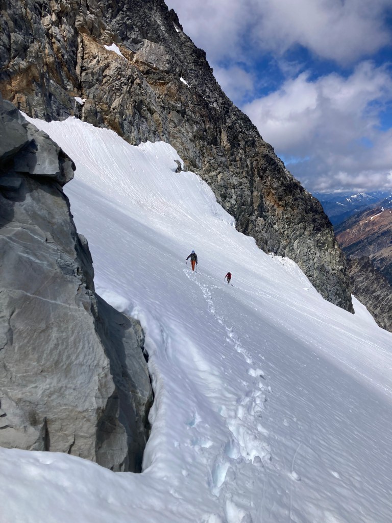
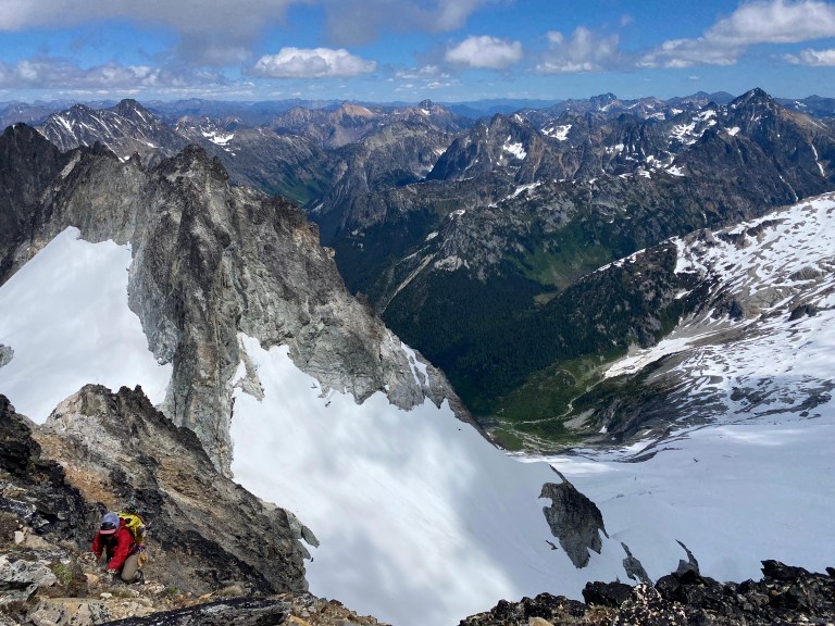
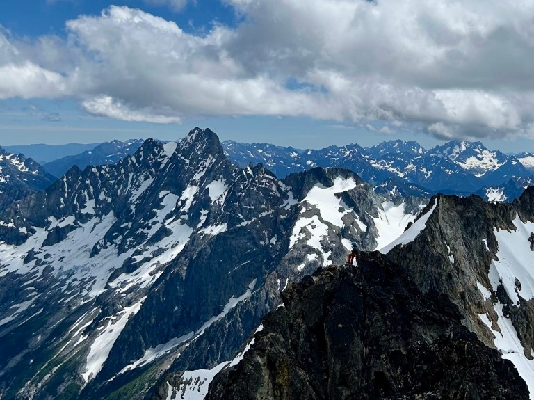
After some time enjoying the summit, we scrambled down to our packs and continued down the surprisingly sharp ridge toward the Fremont Glacier. We had a bit of routefinding trouble here – stay on the East Side of the ridge until you’re almost above the point that allows for the easiest exit onto the glacier to the West. The Fremont Glacier is extremely mellow with no steep terrain to speak of – perfect for a descent route! We did not need crampons in the soft snow. Larissa developed some IT band pain as we stepped off the glacier, likely the result of two big days with heavy packs on some of the roughest terrain imaginable. She hung in there and we made it to to a good campsite near Park Creek Pass for the night.
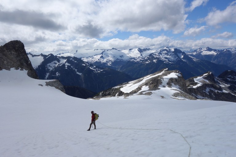
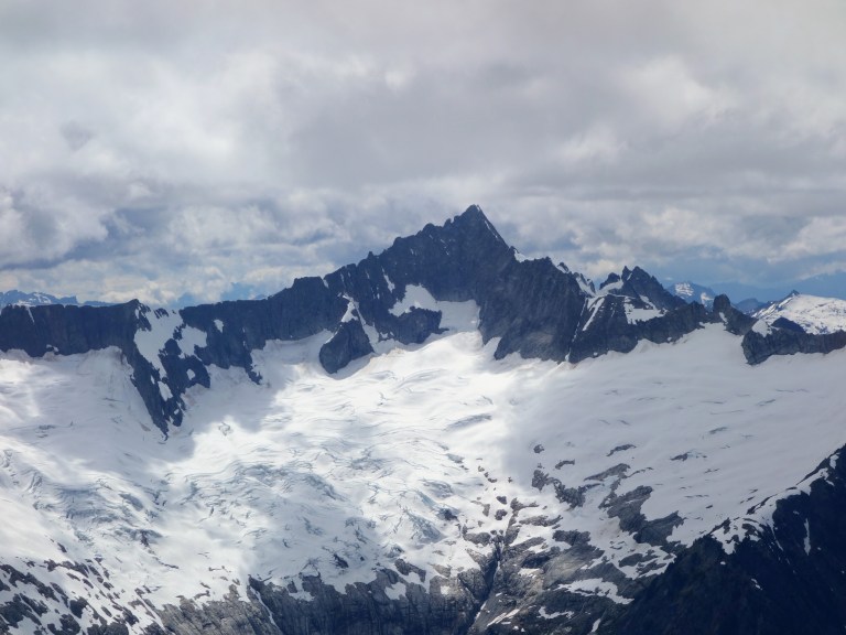
We spent our final two days of the trip trekking out Thunder Creek, which proved to be more enjoyable than expected. After descending from Park Creek Pass down to the floor of the valley, we stood in the headwaters of Thunder Creek and relished in one last view of Mt Buckner. Two days of hiking later, we arrived to the point where Thunder Creek flows into Diablo Lake. Pretty cool to experience such an impressive, raging force of water for its entire length! Due to Larissa’s developing injury, I took as much weight as possible which made me even more appreciative of our ultralight packing strategy.
This was a truly special trip! I love the opportunity to experience multiple sides of the same mountain and be somewhere I’ve never been. The terrain of the Banded Glacier is spectacular and the views as we descended the Fremont were some of the best I’ve seen.
Gear Notes
There’s plenty of people that get by on the Banded Glacier with trail runners or other light footwear paired with aluminum crampons or even microspikes. We chose to bring boots and would do so again – your feet will be happier in the snow and endless scree, and the going will more secure. I did carry trail runners and wore them for everything other than summit day. In terms of glacier gear, this glacier is low hazard and never too steep. Aluminum crampons, an ultralight axe, and just enough rope (30m for us) should be plenty.
Strategy Notes
Pack LIGHT! Strong teams could knock this out in three days, but a four-day program felt really enjoyable. Overall, this trip was more of a backpacking trip motivated by a mountaineering objective than a simple mountaineering trip. My watch logged 42.24 miles and 13,500 feet of elevation gain.


Enjoyed your story and photos as always. Your adventure brought back a rush of memories from my 1978 ascent of the Middle Peak of Logan. With only the vintage guidebook with a sketch to go by I climbed the wrong peak, though 106 feet short of the true summit the Middle Peak was still an awesome spot. My girlfriend wasn’t really a climber, so we called it a day. After Thunder Creek I knew I would not be back. Aloha!
LikeLike